Canals
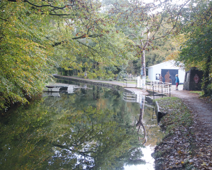
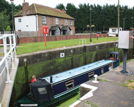
SLEAFORD NAVIGATION The Sleaford Navigation is based on the River Slea. The river rises in the hills above Sleaford and descends via a series of former watermills to the fens, its lower lengths taking on the character of a fenland drainage waterway as it approaches the Witham at Chapel Hill. The waterway was abandoned in 1881, but restoration has been in progress for some years and it is now open from Chapel Hill through South Kyme village to the current limit of navigation at Cobblers Lock.Currently navigable section: 7 miles 1 lockMaximum dimensions: length 72ft, beam 14ft 6in


