While not one of the longest rivers in England, the River Rother in East Sussex certainly is one of the prettiest as Patrick Boniface found out.
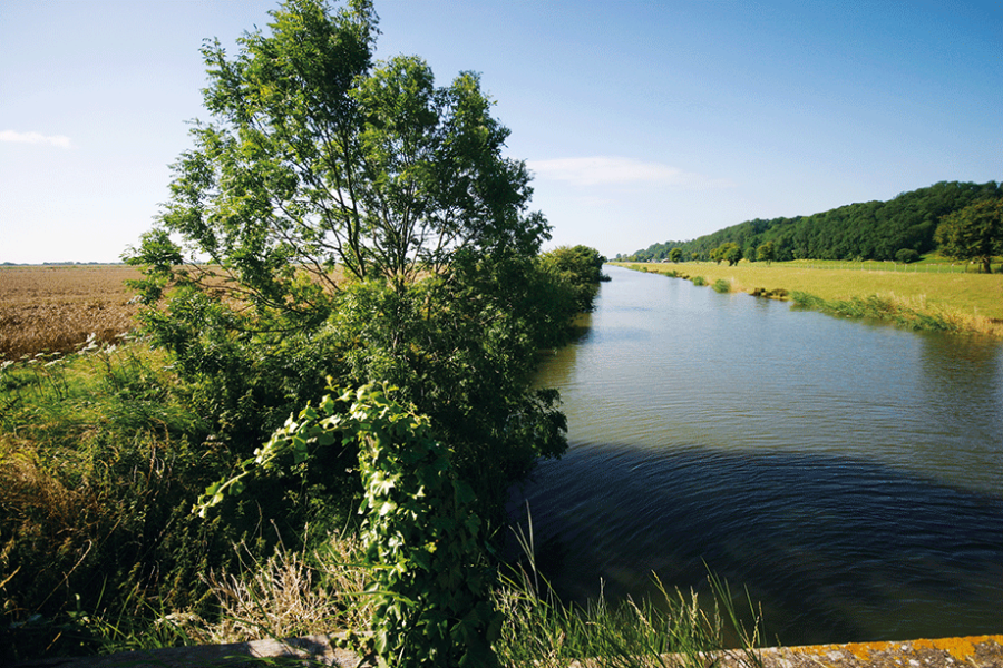
The river winds its way through picturesque countryside, passing by historic towns and villages. The scenery is diverse, with lush green fields, rolling hills and ancient forests lining the banks.
One of the highlights of sailing along the River Rother, is passing through the medieval town of Rye. The town is known for its well-preserved old buildings and charming cobbled streets, making it a popular destination for tourists. As you sail by, you can take in the sights of the town’s famous landmarks, such as the 13th century Ypres Tower and the 14th century St Mary’s Church.
Another highlight is the Rother Levels, a vast expanse of wetlands that is home to an array of wildlife, including waterfowl and even otters. This area is also known for its excellent fishing, with a wide variety of fish species such as bass, bream and pike. The levels are an area of low-lying land and are part of the Pevensey Levels, an area of coastal plain that lies between Rye and Eastbourne. The Rother Levels are a designated Site of Special Scientific Interest and are also protected as a Special Protection Area under the European Union Birds Directive. The Rother Levels are an important habitat for a wide range of bird species including the lapwing, redshank, snipe, marsh harrier, avocet and bittern. The levels are also home to a variety of other wildlife including the water vole, shrew, harvest mouse, reptiles, amphibians and the protected water crayfish. The area is managed by the Sussex Wildlife Trust and the RSPB.
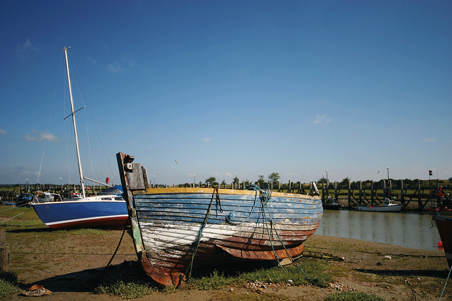
Image: Patrick Boniface
Sailing along the River Rother is also a great way to experience the tranquil East Sussex countryside. But the size of the river means that craft have to be a maximum of 15m (49ft) long, 4m (13ft) wide, draw no more than 0.9m (3ft) and are no taller than 1.87m (6ft 2in). In total, from its source at Rotherfield in East Sussex the Rother’s course takes in some of the most stunning countryside in the Southeast, sadly, the river is only navigable from the sea at Rye Harbour to Bodiam. Throughout history, man has made use of the river with the Romans using it as one of their primary arteries inland from the sea in this region. But the Romans, Saxons and Normans that followed had to manage the vagaries of nature, as the Rother has continuously throughout early and medieval times changed its course particularly in 1287 when the Great Storm blocked its original exit to the sea near Dungeness and nature forced through a new route into the English Channel to its current location. The Rother was crucial to the transportation of vast quantities of rock and timber for the construction of, arguably, Sussex’s most complete and beautiful castle at Bodiam.
For the last 14 miles of its run, the Rother’s bed is below the high tide level and Scots Float sluice (originally known as Star Lock) was built to control water levels in the navigable channel. The lock was repaired and extended in 1723 by engineer John Reynolds but in 1804, no less eminent person than engineer John Rennie criticised its design as being inconvenient to shipping. The early 1800s were troubled times for Great Britain as it was embroiled in the lengthy Napoleonic Wars with France and the River Rother was on the frontline of any French invasion. Therefore, it became part of a defensive line of structures that included the Royal Military Canal authorised by Lord Palmerston, which later became known as Palmerston’s Follies.
The Royal Military Canal joined the Rother at Iden Lock and the last commercial barge to pass from the Rother into the Canal via Iden Lock was the Vulture, carrying 27 tons of shingle on 15 December 1909. The lock was then rebuilt as a sluice. The river was used by pleasure craft in Edwardian times, when regular boat trips from Scots Float Sluice to Bodiam Castle were offered. The lower river is currently used for moorings, and the Bodiam Ferry Company operate a trip boat from Newenden Bridge to Bodiam Castle. In 1960, an area of around 31 square miles around the town of Rye and the Rother Wetlands were inundated with floodwater that resulted in the authorisation of the Rother Area Drainage Improvement Scheme that took between 1966 and 1980 to complete. For the Rother this meant that 20 pumping stations were installed, and the riverbanks were raised considerably.
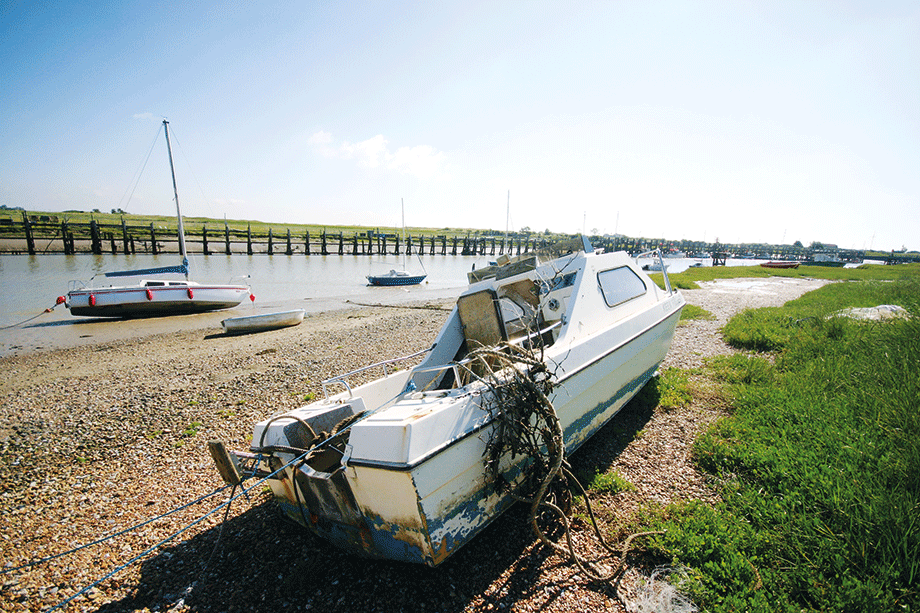
Image: Patrick Boniface
Navigable section
From the magnificence of Sir Edward Dalyngrigge’s 14th century Bodiam Castle, owned by the National Trust since 1925, the river’s last 14 miles starts with an extremely narrow section only really suitable for very small boats. Interestingly, one of the numerous ditches that mark the area, the Kent Ditch, marks the boundary between Kent and East Sussex.
At Newenden, Newenden Bridge carries the A28 road over the channel. It was built with three arches in 1706, but in an earlier Medieval style. A loop to the south takes the river under the Kent and East Sussex Railway, and into an area known as the Rother Levels. The county boundary now follows a small channel to the north, which was the main channel when the river passed around the northern edge of the Isle of Oxney prior to 1635.
The short channel splits into Newmill Channel and Reading Sewer a little further to the north, the first flowing southwards, and the second originally flowing northwards, when it was the main channel for the River Rother. Soon after New Bridge carries Wittersham Road over the river, the channel turns to the south, to run along the eastern edge of Walland Marsh. The Military Road, which was built along the landward side of the Royal Military Canal, crosses to the western bank of the river just before Iden Lock, the disused entrance to the canal.
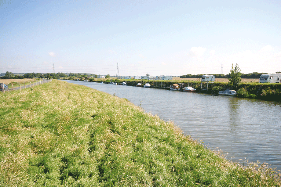
Image: Patrick Boniface
Next comes Scots Float Lock, below which the river is tidal. As it approaches the eastern edge of Rye, it is crossed by a fixed truss bridge which carries the Marshlink railway line. The bridge was installed in 1903, and replaced a swing bridge erected in 1851 during the construction of the railway, which opened in 1852. Monk Bretton Bridge carries the A259 New Road, and below that, the Rother is joined by the River Brede at the southern edge of Rye. The river channel is quite wide and is known as Rye Harbour. There is also a village called Rye Harbour, at the southern end of the wide section.
There was a wharf on the river in 1874, served by a railway line, and sidings which were used to collect shingle. By 1909, the wharf had been replaced by a landing stage slightly further downstream, which was also served by the railway. As it nears the sea, Martello tower number 28, built in 1806 to protect against French invasion, stands to the west of the channel. Nearby is a RNLI Inshore Rescue station. The river then enters Rye Bay, part of the English Channel.
For boaters it is worth noting that while the Rother is managed by the Environment Agency it is unusual insofar as since 1826 it has been a free river, and so no licence is required to use it.


