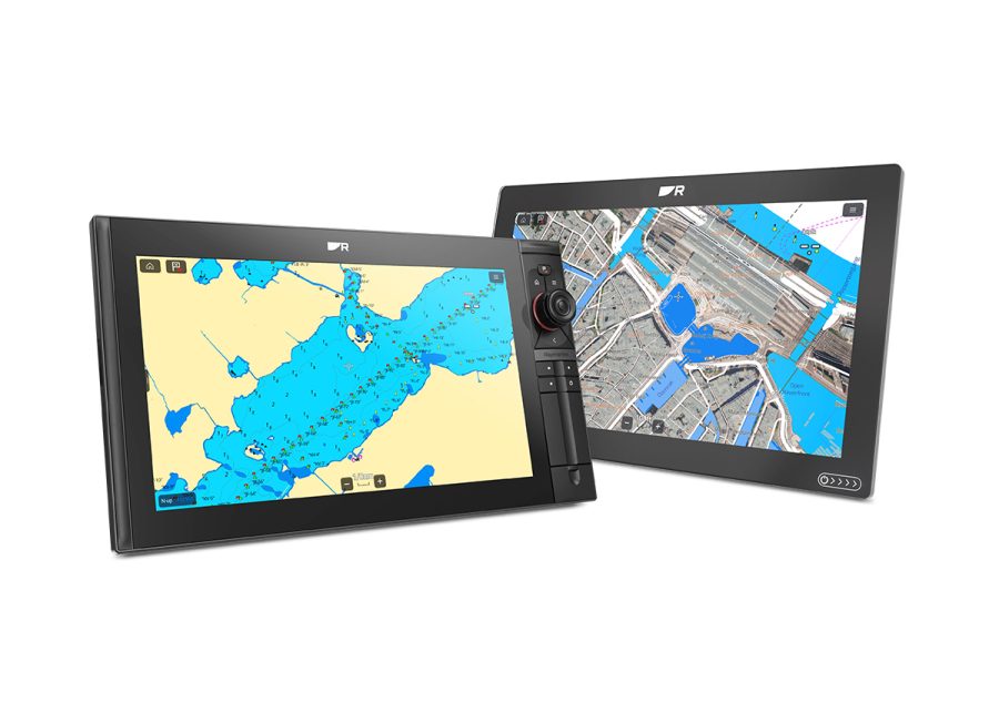
Raymarine has announced the extension of its LightHouse Charts to encompass the coastal and inshore waters of Belgium and the Netherlands. Raymarine users in the region will have access to a new level of precision, clarity and detail in marine navigation, created from trusted, official hydrographic sources – the very same data used by maritime professionals.
In addition to comprehensive coverage of Belgian and Dutch coastal waters, users will benefit from the inclusion of Stentec® charts and vital associated information for navigating the Dutch inland waterways. Stentec®, distributors of the WinGPS software and DKW series of charts, are recognised for offering the most detailed and up-to-date inland waterways data available for this part of Europe. The charts provide extensive information, including critical bridge and lock details, shoreline structures, depth soundings, bathymetry, navigation aids, and much more. For Premium Raymarine LightHouse® customers, a wealth of additional points of interest are available, including data from Reeds Almanac®, restaurants, landmarks, marina services and other essential points-of-interest (POI).
LightHouse Charts enable boaters to effortlessly and safely identify, navigate to and explore new destinations and fishing spots. As an all-in-one solution, these charts provide versatility and convenience to both recreational and professional users alike. Boaters can seamlessly switch between official government-style chart presentation or an information-rich leisure chart view, tailoring the navigation experience to their specific needs. Additionally, four chart colour palettes are available, optimised for bright sun, daylight, dusk and night-time conditions, ensuring excellent visibility at any time of day.
To further enhance the marine navigation experience, Raymarine offers the option of a LightHouse Premium subscription. Subscribers gain access to continuous chart updates, an expanded POI library, as well as enriched satellite imagery from Mapbox®.
To facilitate seamless access to LightHouse Charts and premium content, Raymarine offers an intuitive online chart store. Additionally, the Raymarine mobile app, available on both the App Store and Android devices, enables users to download updates and synchronise premium content with Raymarine Axiom ® chartplotters and Raymarine Element ™ Sonar/GPS displays.